Android Apps
BackCountry Nav Topo Maps GPS - DEMO


Description
BackCountry Nav Topo Maps GPS - DEMO Android App
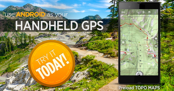
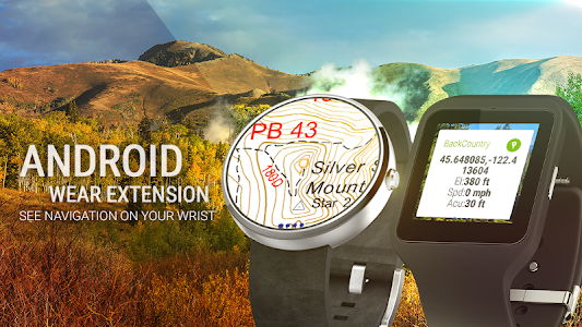
Use Android as a handheld GPS for the outdoors with offline topo maps.Use your Android as an offroad topo mapping GPS with the bestselling outdoor navigation app for Android! Try this DEMO to see if it is right for you, then upgrade to the paid version.
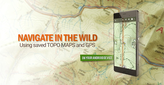
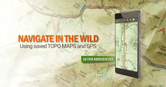
Use offline topo maps and GPS on hike trails without cell service! The GPS in your Android phone can get its position from satellites, and you don't have to rely on your data plan to get maps. Have more fun and safe GPS adventures in the backcountry.
Preload FREE offline topo maps, aerial photos, and road maps on your storage memory, so they are ready when you need them.
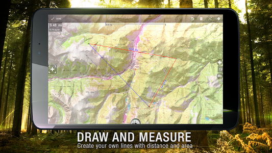
Add custom GPS waypoints in longitude and latitude, UTM or MGRS grid reference. Import GPS waypoints from GPX files. Choose icons for waypoints much like in MapSource. (This app uses the WGS84 datum, NAD27 is available in settings).
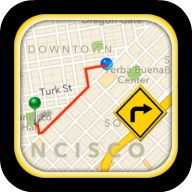
Use GPS for hunting a waypoint or geocache, for recording tracks and GPS waypoints on your trip, all the while tracking your quest on topographic maps.
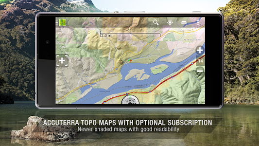
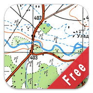
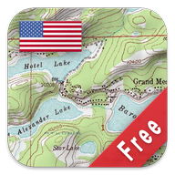
About topo (topographic) maps: Topo maps show terrain through color and contours, and are useful for navigation offroad. Topo maps and GPS can be used for hiking, hunting, kayaking, snowshoeing, & backpacker trails.
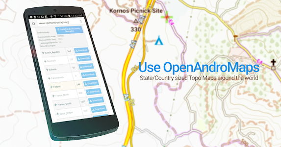
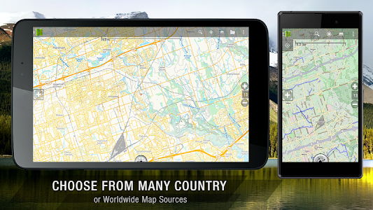
The app has many built in map sources and allows you to create your own maps with Mobile Atlas Creator. Built in sources include:
OpenStreetMaps and NASA landsat data worldwide.
OpenCyle Maps are topo maps that show terrain worldwide.
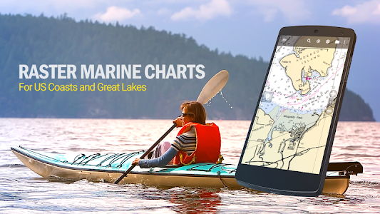
USGS Color Aerial photography.
Topographic Maps of Spain and Italy.
Outdoor maps of Germany and Austria
Topo maps of New Zealand
Here are some of the outdoor GPS activities BackCountry Navigator has been used for:
Hiking both on hiking trails and off trail.
Camping, to find the perfect camping site or the way back to camp.
Hunting trips for hunting wild game in rugged areas, including recon for the hunt.
Bait fishing or fly fishing with a buddy.
Search and Rescue (SAR) with GPS.
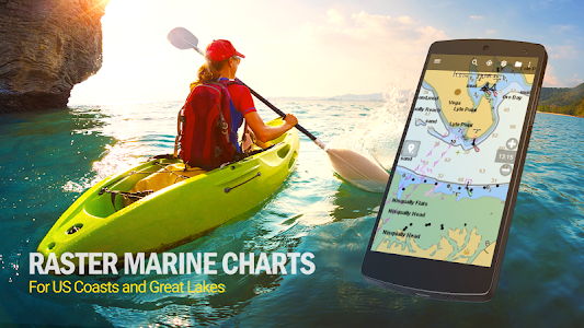
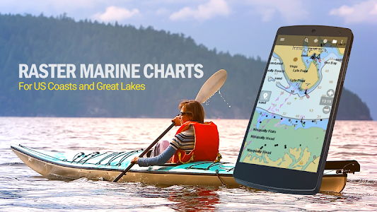
Kayak and canoe trips on inland lakes and streams or marine, coastal waters.
Backpacker trips: using topo maps of wilderness areas and national forests to navigate on trails with the GPS.
Snow adventures including snowmobiling, skiing (alpine or cross country) and snowshoeing. Create a memory. Map it out.
This a great addition to the outdoor gear you bought at Cabelas, REI, or another outdoor store. Your android phone could substitute for a Garmin or Magellan outdoor handheld GPS! You storage has memory for maps.
Find your own ways to have fun in the outdoors. Be a maverick by venturing into new territory beyond cell service boundaries. Become a pro at navigation with GPS.
BackCountry Navigator has been previously available on WM devices and preloaded on the Trimble Nomad outdoor rugged device. This Android version is more flexible, featured, and fun.
BackCountry Navigator DEMO
Topographic maps to use on your smartphone Info Info
Ratings & Reviews (0)
Review Summary
There are currently no reviews for this app
Submit Your Review
You might also like:

Maps Ruler
9K | TravelGPS Nav & Maps (light)
778 | TravelSkype WiFi
6K | TravelBezpieczna Rodzina
5K | TravelRussian Topo Maps Free
10K | TravelUS Topo Maps Free
655 | TravelGPS Map Free
85K | TravelGPS Driving Route
92K | TravelGoogle Street View
2M | Travel


Featured Apps:


Android Apps service is provided by PHONEKY and it's 100% Free!
Apps can be downloaded by Samsung, Huawei, Oppo, Vivo, LG, Xiaomi, Lenovo, ZTE and other Android OS mobile phones.